KNS Candrill Map
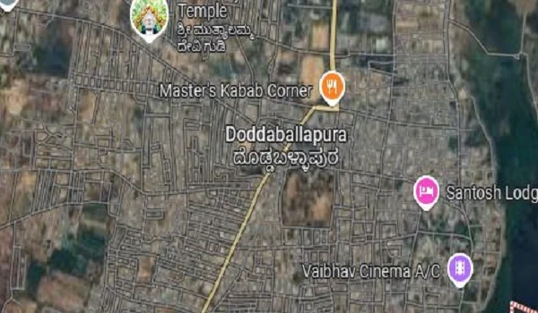
KNS Candrill Map shows the exact location of the project on Doddaballapur Road in Bangalore. It also shows how well the project has a good transport network and what are the nearest IT hubs, schools, malls, and hospitals. It gives buyers a clear idea of the project's neighborhood.
All the details, including the nearest metro stations, bus routes, airport, and railway stations, are also shown. KNS Candrill has a good road network through
- NH-44
- SH 74
- NH 48
- NH 648, and
- SH-9
Nearest Bus Stand to KNS Candrill
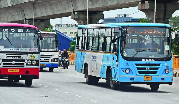
The project has good road access to reach all areas with a lot of BMTC buses at consistent intervals. The nearest bus stand is the Doddaballapura bus stand, which is 6.5 km away from the project location.
Nearest Railway Station

The Oddarahalli Railway Station is the nearest station, which is just 2 minutes from the project location. It makes traveling very easy for the people of the area.
Nearest Metro Station

The project has a better metro network to connect to all major areas of the city easily. The nearest metro station is the City Metro Station, which is 6.6 km away from the project location.
Nearest airport
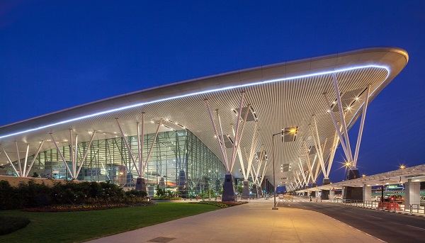
Kempegowda International Airport is the only airport that is nearby at a distance of 36.9 km, and residents can use NH 648 to get to the airport, which is 38 38-minute drive from KNS Candrill.
Places to visit nearby
- Nadaprabhu Kempegowda Statue – 31.5 km
- Bangalore Palace – 38.1 km
- Makalidurga Hills – 17.6 km
- Puttenahalli Lake – 24.2 km
- Cubbon Park – 40.8 km
The project location has a good social infrastructure, and there are a lot of schools, colleges, IT companies, and malls nearby. This ideal position attracts a lot of people to the area.
Schools nearby
- Saraswathi School
- Jawahar Navodaya Vidyalaya
- ADITYA Public School
- MSV Public School
- National Pride School
- Chinnara Koota School
Tech Parks nearby
- Succinnova Technologies Pvt.Ltd
- L&T Construction
- Sonarome Private Limited
- Gstack Solutions Pvt. Ltd
- Rittal Private Limited
- Abax Technologies
- Slipstream IT Solutions Pvt Ltd
Hospitals nearby
- Aadya Hospital
- L V Hospital
- Chiguru Hospital
- Manipal Hospital
- Seven Hills Hospital
- Manasa Hospital
Shopping Center nearby
- Bhartiya Mall
- GT World Mall
- Phoenix Market City
- Garuda Mall
- Phoenix Mall Of Asia
- Elements Mall
Distance from major neighborhoods
- Yelahanka – 27.5 km
- Whitefield – 68.2 km
- Electronic City – 64.1 km
- Jakkur – 31.2 km
- Devanahalli – 22 km
Buyers can refer to the map to learn about the project and its complete surroundings. They can understand the nearby transport options and the social framework. As the area has all the needed conveniences nearby as shown in the map, it is best to consider for investment.
| Enquiry |
